
Conference Grants: Will Payne on Liminal Mapping with Pseudo-Spatial Charts
Will Payne received a Fall 2019 BCNM Conference Grant to help cover his costs attending the North American Cartographic Information Society (NACIS) annual meeting in Tacoma, Washington. Payne presented "Neither Pin Map nor Network Visualization: Liminal Mapping With Pseudo-Spatial Charts." Read more about his experience in his own words below!
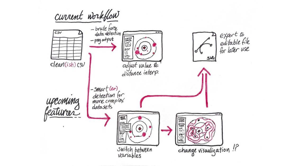
With funding from the Berkeley Center for New Media's Conference Grant program, I traveled to the North American Cartographic Information Society (NACIS) annual meeting in Tacoma, Washington to present new research in October. NACIS is a group that brings people in academia, government, non-profit, media, and geospatial industry fields together to talk about their research and practice in cartography and mapping, especially digital and web maps. The paper I presented, "Neither Pin Map nor Network Visualization: Liminal Mapping With Pseudo-Spatial Charts," is based on work conducted with fellow New Media Working Group member Evangline McGlynn on new methods for visualizing spatial data using non-linear distance transformations to better reflect more complicated notions of space than Cartesian coordinates.
In our paper, we argue that in the "democratization of cartography" through the migration of map-making practice to GIS and web-based tools, which often require strict Cartesian spatialization, important vernacular use cases have been lost. While network visualizations solve some problems, many analyses require rough concepts of distance and bearing. Sometimes a qualitative or non-linear scale of distance can provide a more meaningful and layout-efficient visualization. We concluded the talk with a live demo of our lightweight "pseudo-spatial" chart engine, where relative orientation is preserved, but distance is transformed in accordance with underlying scalar relationships, concluding with a series of use cases to take relational spatial analysis beyond the pin map. The conference was very productive in testing out these new ideas and securing interest from potential collaborators and beta testers, none of which would have been possible without BCNM support.